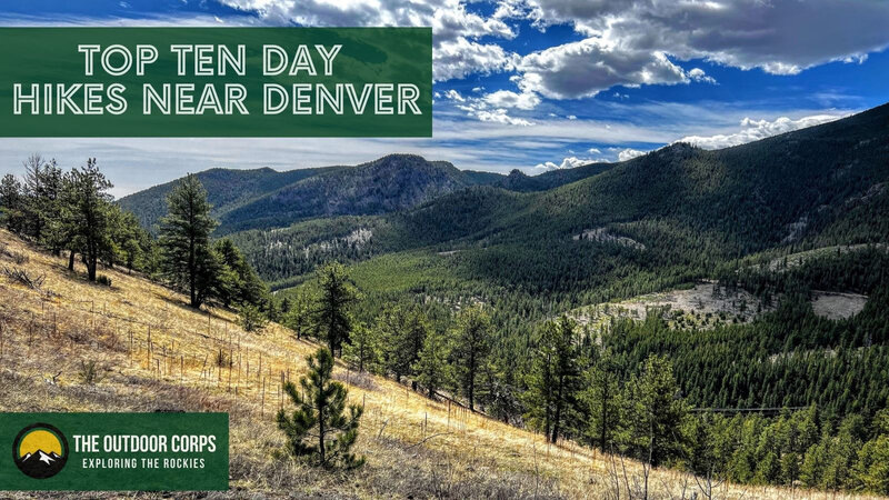
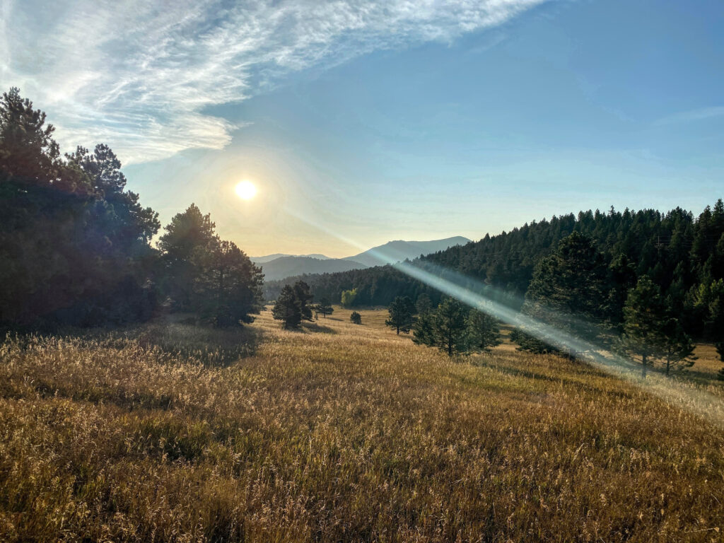
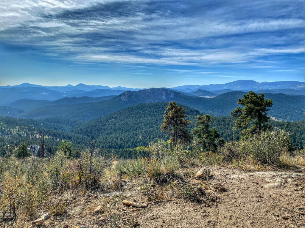
Looking for a great hike close to Denver? Luckily, there is no shortage of amazing day hikes within less than an hour-long drive of the Denver metro area. We’ve curated a list of our top ten day hikes near Denver, which we think you’ll enjoy too. Golden, Boulder, Evergreen, Lyons…all of these locations have plenty of trails for all skill levels. Some of these spots can get crowded, so we suggest visiting early in the morning or on a weekday for less trail traffic. Happy trails!
OUR FAVORITE DAY HIKES NEAR DENVER
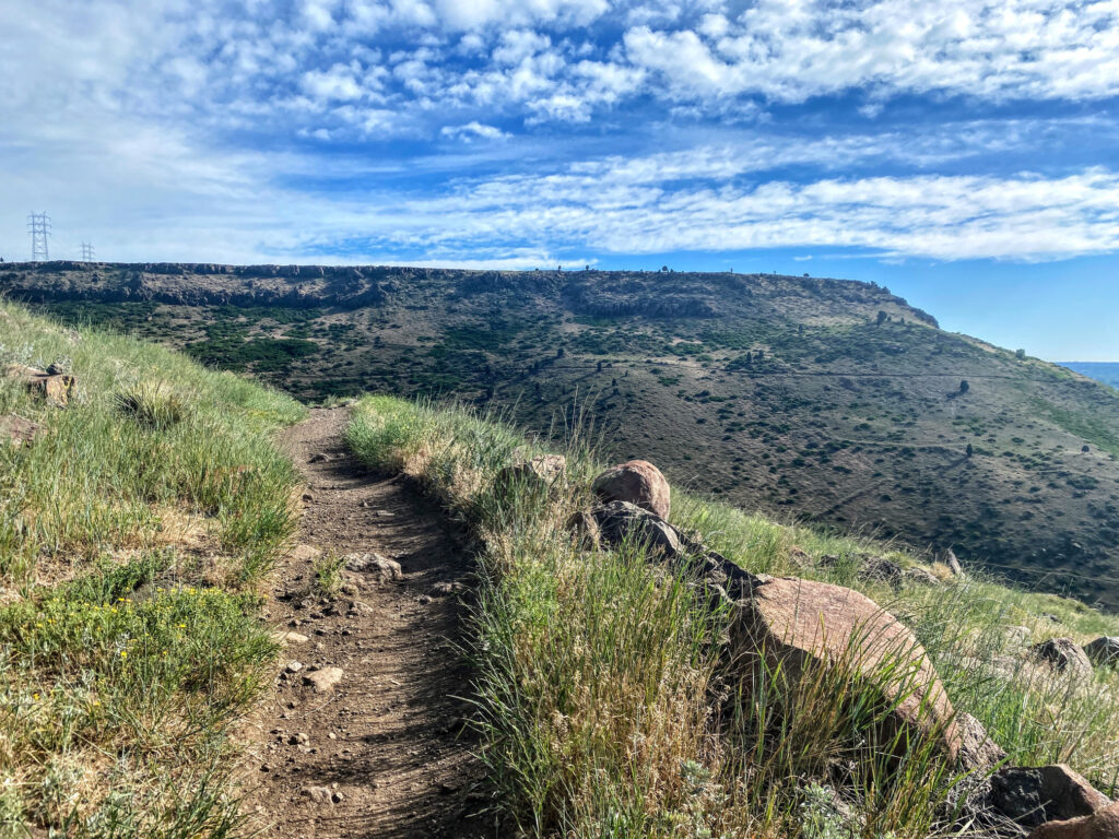

North Table Mountain Loop – 7.4 Miles
Located in Golden, this moderately difficult trail encompasses nearly the entire perimeter of North Table Mountain Park. The route has a respectable amount of elevation gain, much of which is immediate if starting at the park’s West Trailhead in a counter-clockwise direction. Once atop the mesa, the trail begins to level and the rest of the route is more modest.
North Table Mountain Park Destination Guide
AllTrails Hike Map


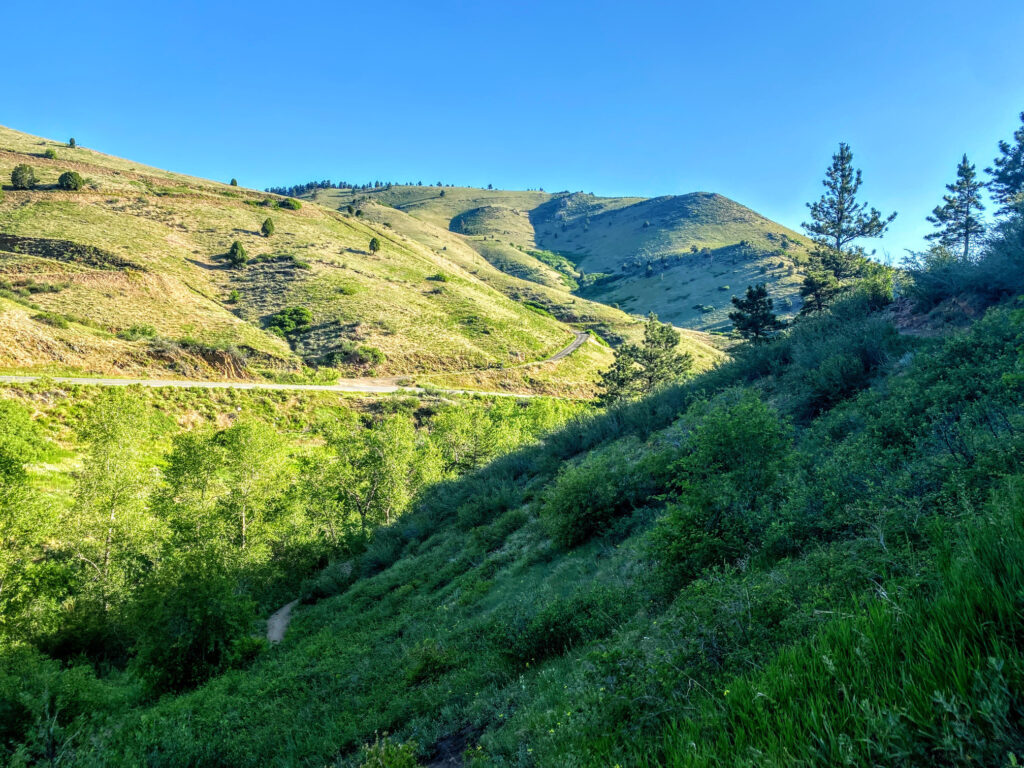
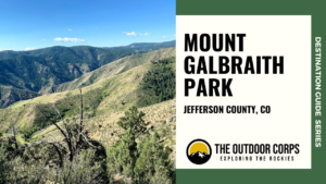
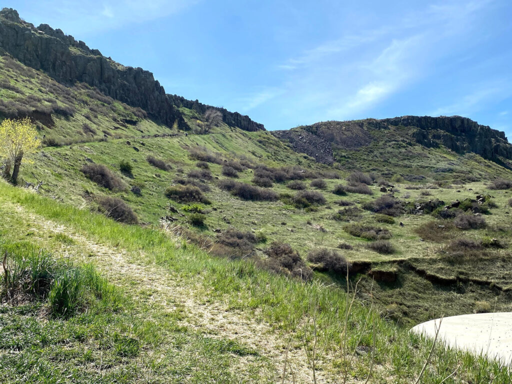
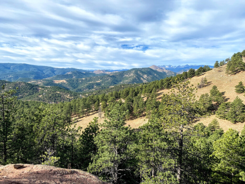
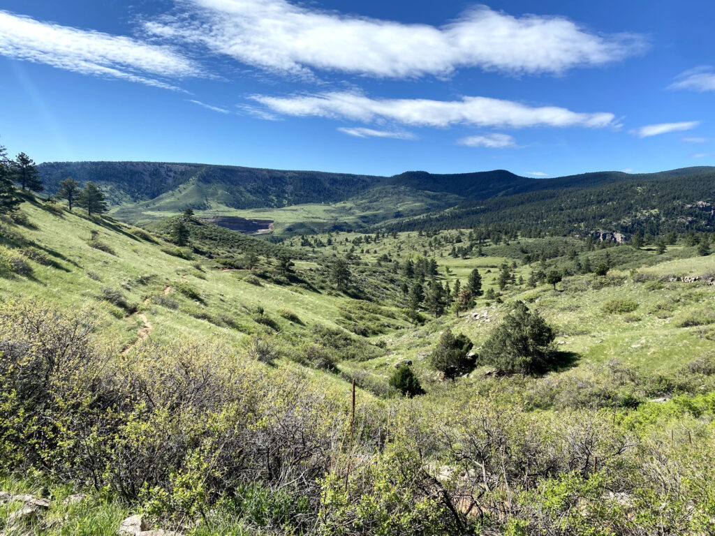
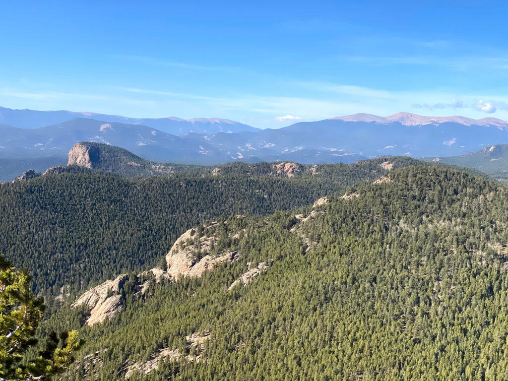
Mount Galbraith Loop – 4.2 Miles
Mount Galbraith Park is a hiker-only gem located in Golden. Our favorite route is a moderate lollipop hike around Mount Galbraith via the Cedar Gulch Trail. The Cedar Gulch Trail ascends steadily, but is not exceedingly steep. After 1.3 miles of ascent, reach the junction of the Mount Galbraith Loop. Turn onto the loop in either direction, though we prefer to hike the loop counter-clockwise because it offers more immediate shade. Complete the 1.6-mile loop and return to the trail junction with the Cedar Gulch Trail for the descent back to the parking lot.

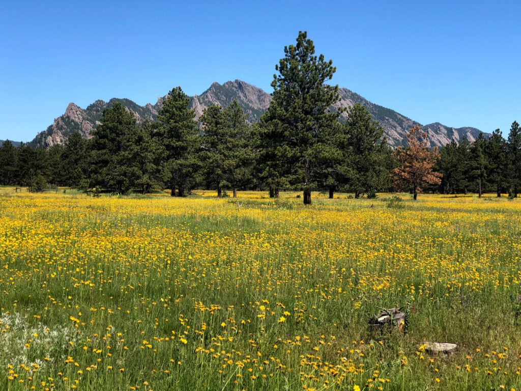
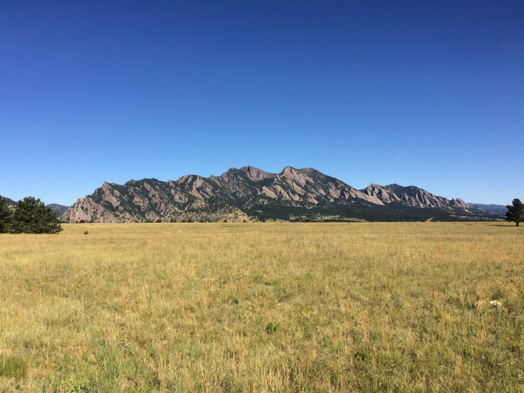

Flatirons Vista Loop – 3.5 Miles
The Flatirons are immediately recognizable conglomeratic sandstone rocks formed as part of the Fountain Formation nearly 300 million years ago. Located in Boulder, the Flatirons Vista Loop is an easy 3.5 mile trail that is as picturesque as they come. It’s a great spring hike when the wildflowers are in bloom, but accessible year round. The trail is multi-use, so you will often share the loop with hikers, trail runners, mountain bikers, and the occasional equestrian.

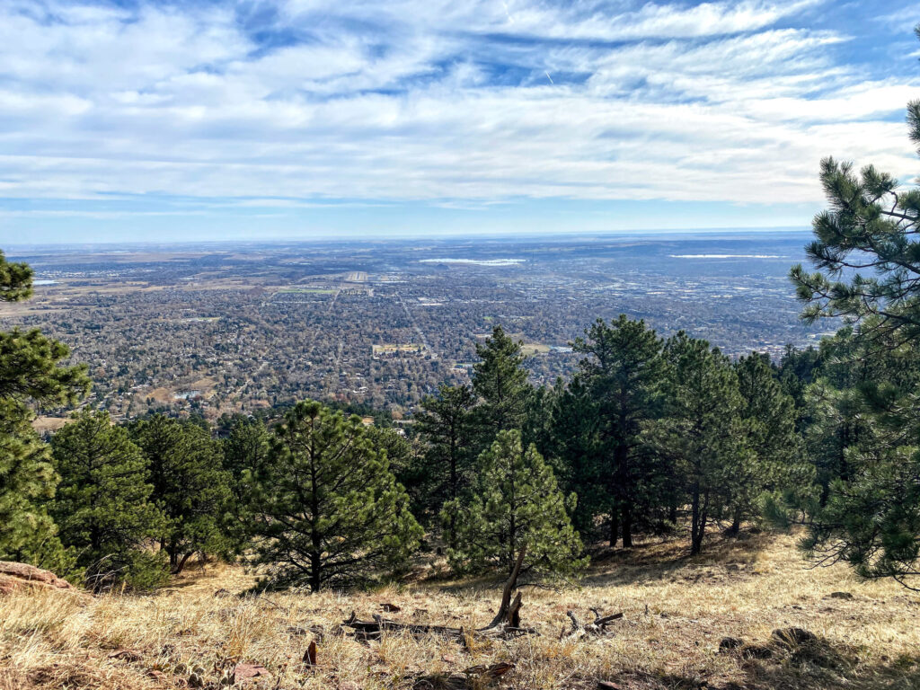
Mount Sanitas Loop – 5.0 Miles
Mount Sanitas, a 6,821ft. peak in Boulder, is an extraordinarily popular summit frequented by local hikers and trail runners. At the summit, visitors overlook downtown Boulder and the plains to the east. There are multiple trails leading to the summit, but for a moderate ascent, we prefer the 5.0 mile loop route beginning at the Centennial Trailhead via the Sunshine Canyon Trail, linking with the Lion’s Lair Trail, and concluding with a descent down the Mount Sanitas Trail.


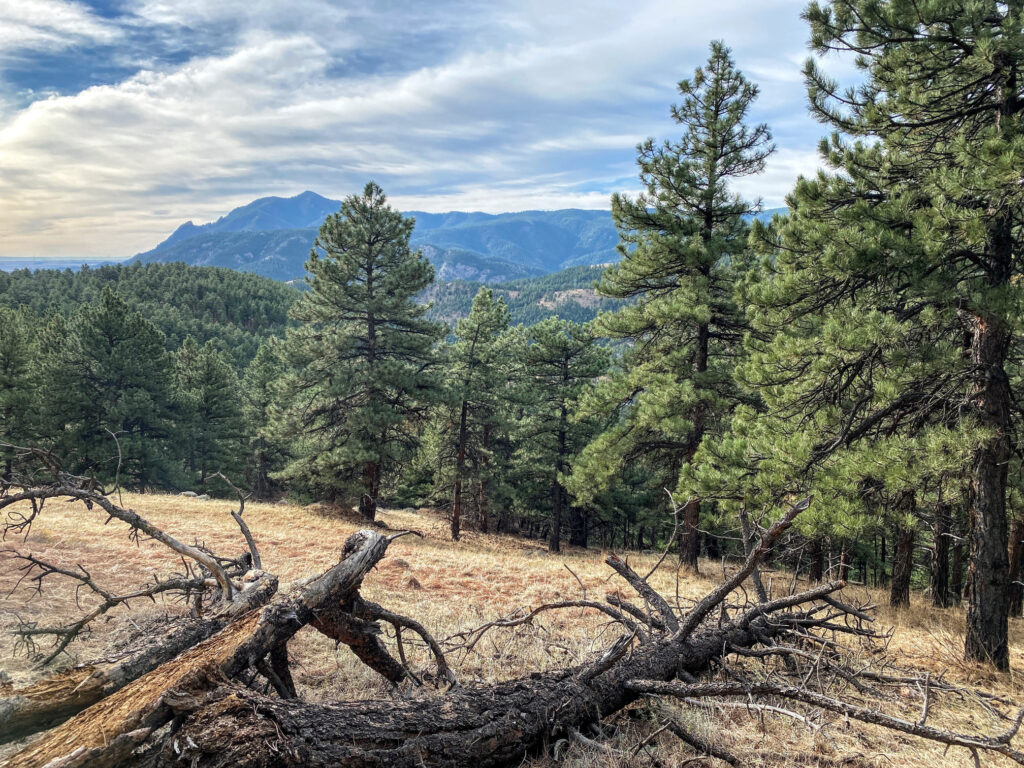
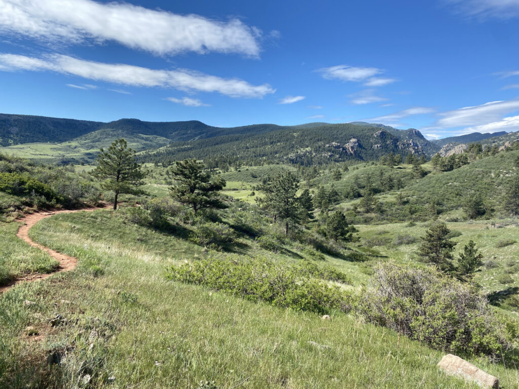
Walker Ranch Loop – 7.9 Miles
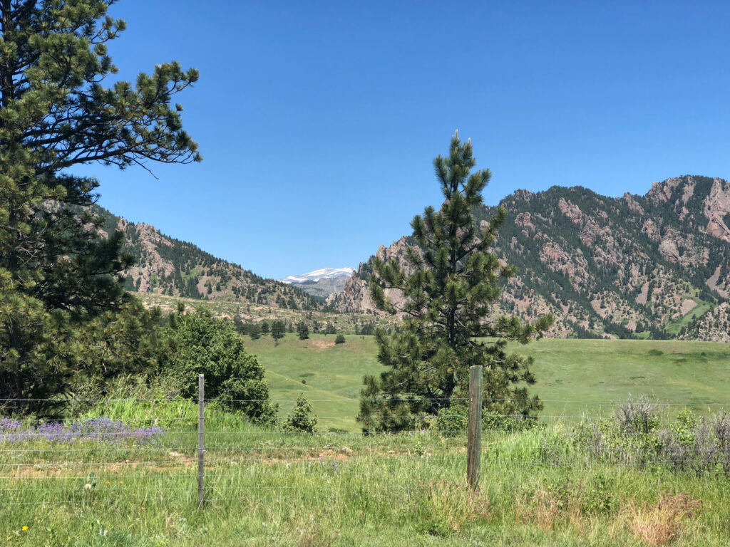
Walker Ranch is our go-to destination in Boulder for year round hiking. Hikers, trail runners, mountain bikers, anglers, and horseback riders regularly visit the park, especially on the weekends. Get the most out of your visit with the challenging 7.9 mile Walker Ranch Loop. The trail begins at the Walker Ranch Loop Trailhead parking lot. We prefer heading in a counter-clockwise direction, which descends towards South Boulder Creek and leads to Crescent Meadows. You’ll get some great views of mountains in the Indian Peaks Wilderness (notably North Arapaho Peak) too!
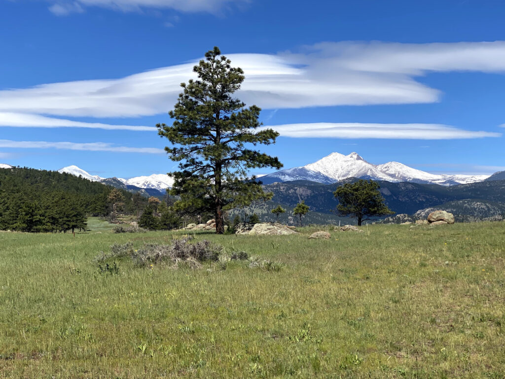
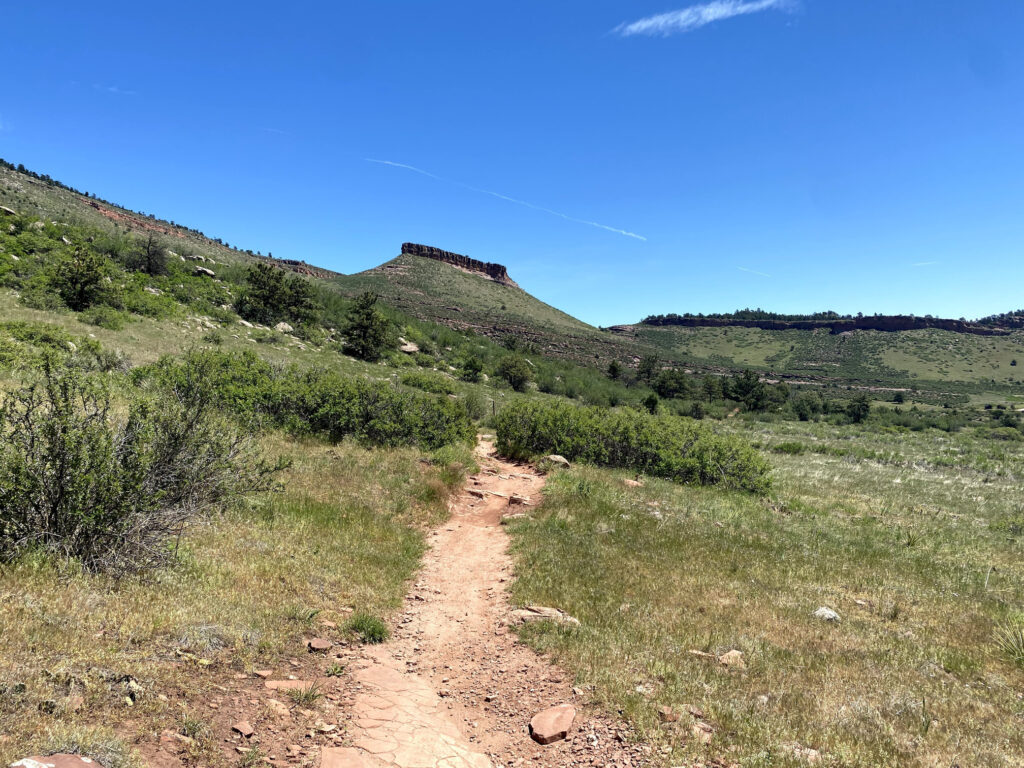
Hall Ranch Loop – 9.8 Miles
We absolutely love this destination when we’re looking for a strenuous foothills outing. Hall Ranch is located in Boulder County, just west of downtown Lyons. The Hall Ranch Loop is the premier hike here. Beginning at the lower Hall Ranch parking area, start on the Bitterbrush Trail and quickly connect with the Nighthawk Trail to begin the loop in a clockwise direction. Continue up the Nighthawk Trail’s gradual incline to eventually reach a stunning vista of Mt. Meeker. After enjoying the view, connect with the Nelson Loop and back to the Bitterbrush Trail, ending on a downward slope back to the parking area.


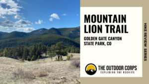
Mountain Lion Trail – 6.7 Miles
The Mountain Lion Trail in Golden Gate Canyon State Park, not far from downtown Golden, is one of the premier trails within the entire park. At 6.7 miles in length and designated “Difficult” by Colorado Parks and Wildlife, the Mountain Lion Trail is a fairly challenging loop hike, but not overly intense. This is a great day hike or trail run option with diverse terrain, expansive views of nearby foothills, and beautiful vistas of Front Range mountains.

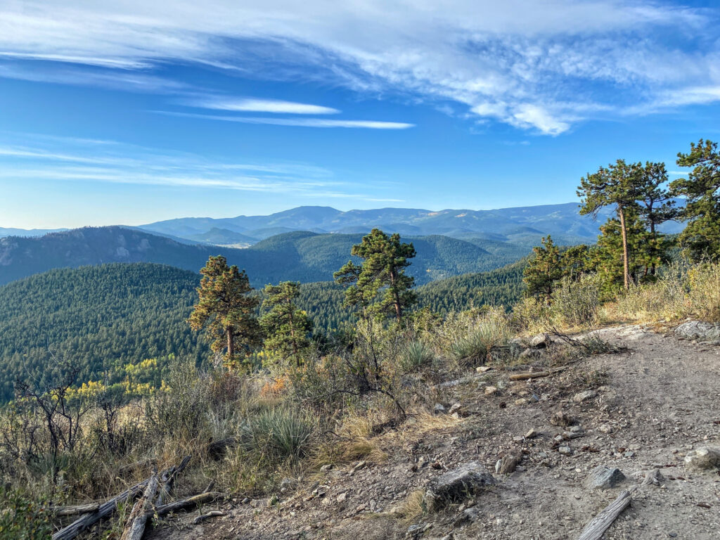
Bergen Peak – 8.7 Miles
Bergen Peak is a 9,702ft. mountain within Elk Meadow Park, located in Evergreen, CO and Jefferson County. Picturesque meadow views, aspen groves, and stunning vistas of nearby Mount Evans and surrounding peaks make the challenging 8.7 mile out-and-back ascent to Bergen Peak extremely popular. And, the park is only about 30 minutes from Denver, making this a great day hike or trail running location.


Evergreen Mountain Loop – 6.5 Miles
Alderfer / Three Sisters Park is a great all-seasons destination located in Evergreen. Our favorite hike in the park is to the summit of Evergreen Mountain. Though there are a few routes to the summit, we prefer beginning at the East Trailhead parking area and taking the Evergreen Mountain East Trail to the Summit Trail loop, then doubling back via the Evergreen Mountain East Trail.


Eagle Cliffs Overlook – 7.2 Miles
The hike to Eagle Cliffs Overlook is one of the best that Staunton State Park has to offer. The park is located in Pine, about 45 minutes southwest of Denver. At 7.2 miles in length with approximately 1,300ft. in elevation gain, this hike is moderately challenging and well worth the effort. Start at the Mason Creek Trailhead and head toward the scenic Eagle Cliffs Overlook at 9,583ft. for a stunning view of Lion’s Head and surrounding mountains.
Disclosure: Please note that this post contains affiliate links. We may receive a small commission if you buy a product or service through an affiliate link. This revenue helps us provide readers with helpful content to plan amazing adventures.