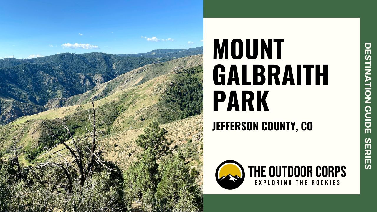
Mount Galbraith Park is an open space park located in Golden, Colorado within Jefferson County and adjacent to Clear Creek Canyon Park. The park’s main access area is just off of Golden Gate Canyon Rd., mere minutes from downtown Golden. Indeed, Mount Galbraith Park’s proximity to the Denver metropolitan area makes this park a very popular recreational destination. With 799 acres and 4.6 miles of trails, Mount Galbraith Park is fairly small compared to other Jefferson County Open Space parks. However, all of the park’s trails are designated as “hiker-only,” so there is more than ample space to explore. For other Jeffco parks, check out our destination reviews on North Table Mountain Park and White Ranch Park.
DESTINATION GUIDE SERIES: Mount Galbraith Park
Why Should You Visit Mount Galbraith Park?
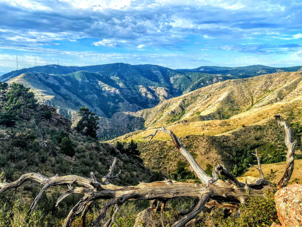
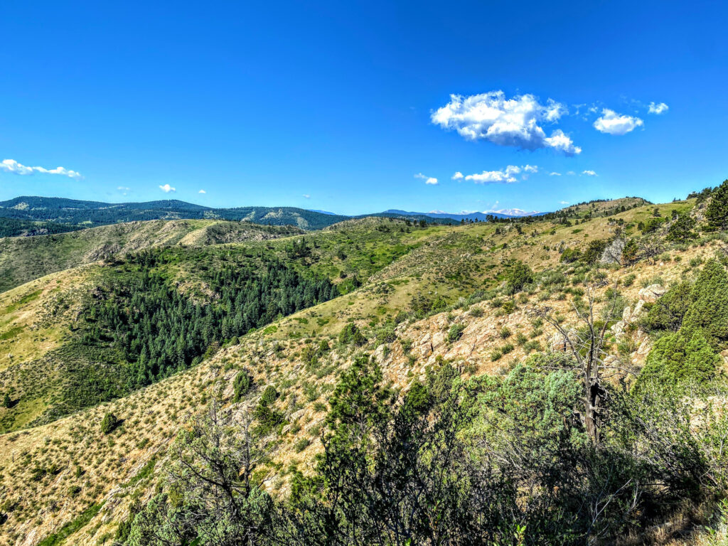
Mount Galbraith Park is a hiker and trail runners paradise that is conveniently accessible. All of the trails are designated as “hiker-only,” thus, pedestrians will not need to share the trails with mountain bikers and horseback riders. Further, the trails are all relatively short and moderately difficult, making this an ideal location for most skillsets. Consider the Mount Galbraith Loop, which circles the top of the mountain and offers beautiful views of surrounding Golden.

Where is Mount Galbraith Park?
Mount Galbraith Park is located in Jefferson County, CO. The park’s main access point and parking area is just off of Golden Gate Canyon Rd., only a short drive from downtown Golden. From Denver, take US-6 W towards Golden, which will eventually turn in to CO-93 N. After about 1.5 miles on CO-93 N, turn left onto Golden Gate Canyon Rd. Drive a little over one mile on Golden Gate Canyon Rd. and the parking area is on your left. In addition, an alternative entry point into Mount Galbraith Park is the Nightbird Gulch Trailhead, which is a neighborhood access trail on Canyon Point Circle.
Things To Do
Hiking and Trail Running
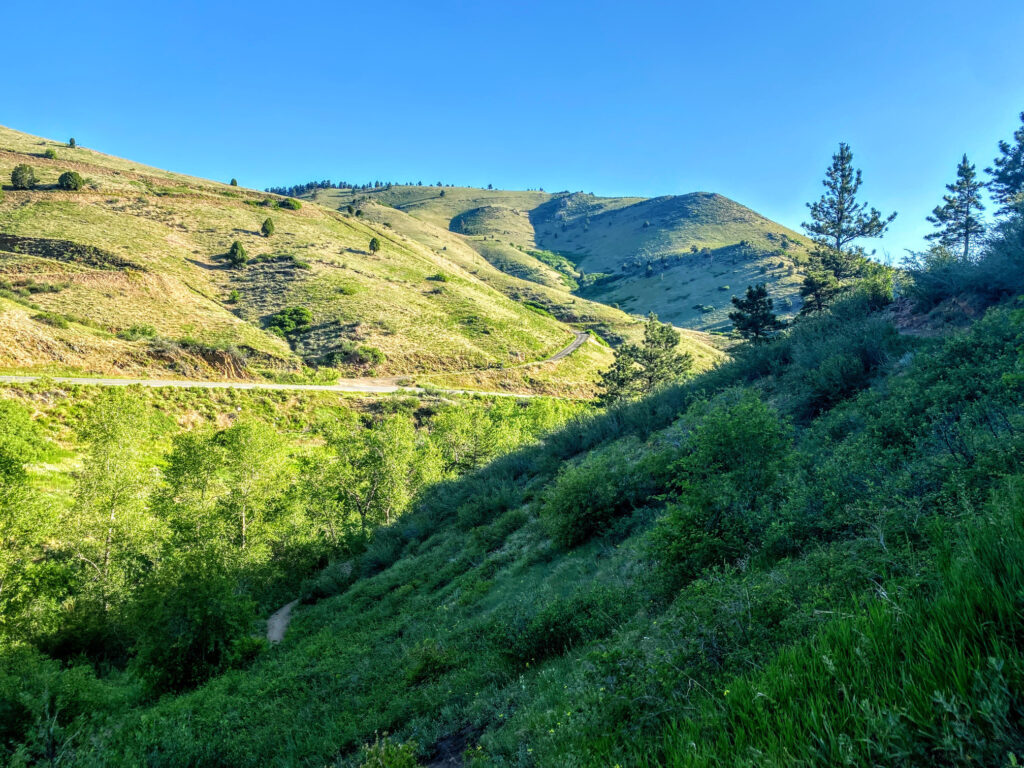
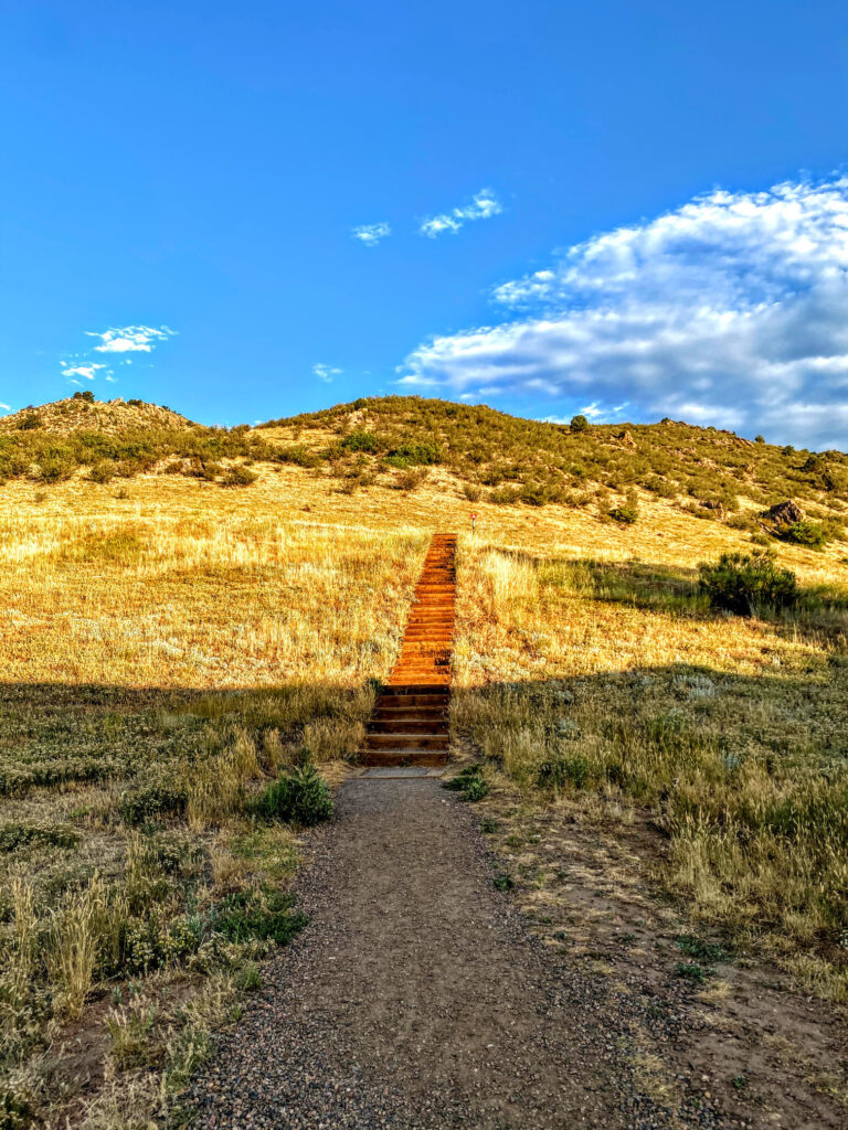
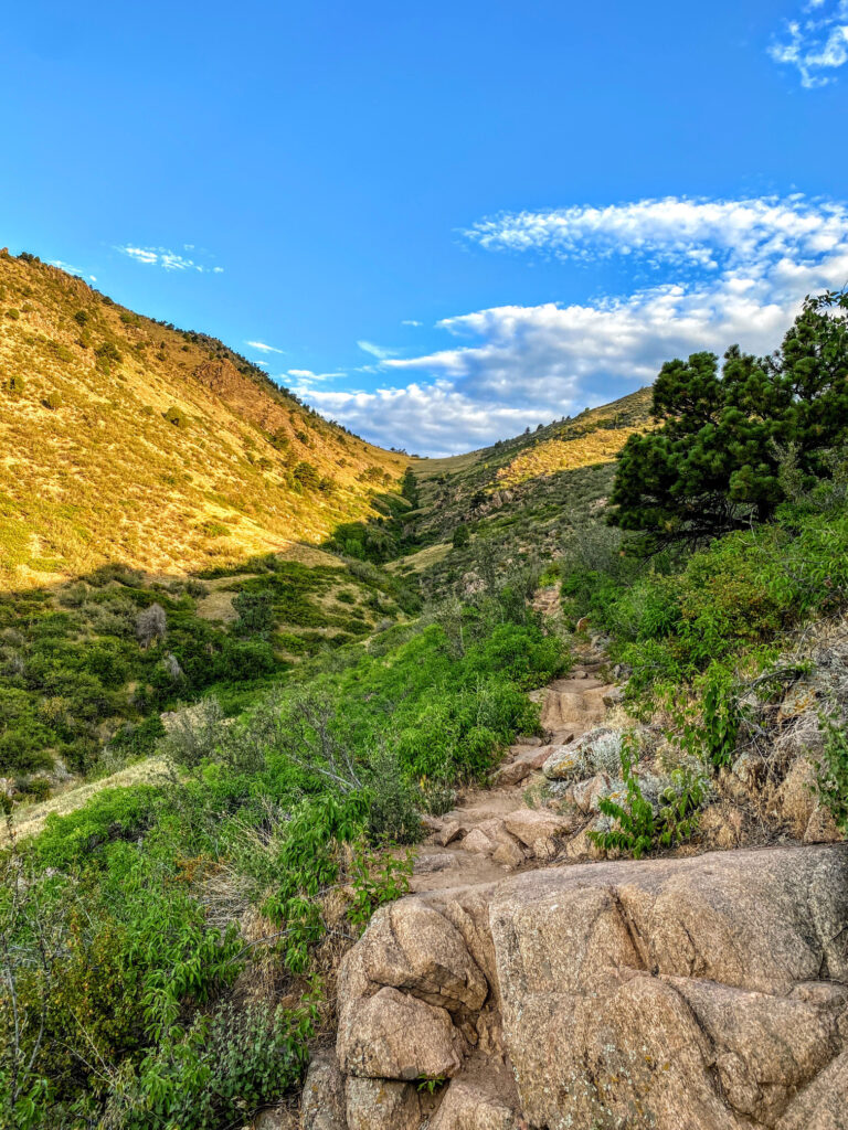
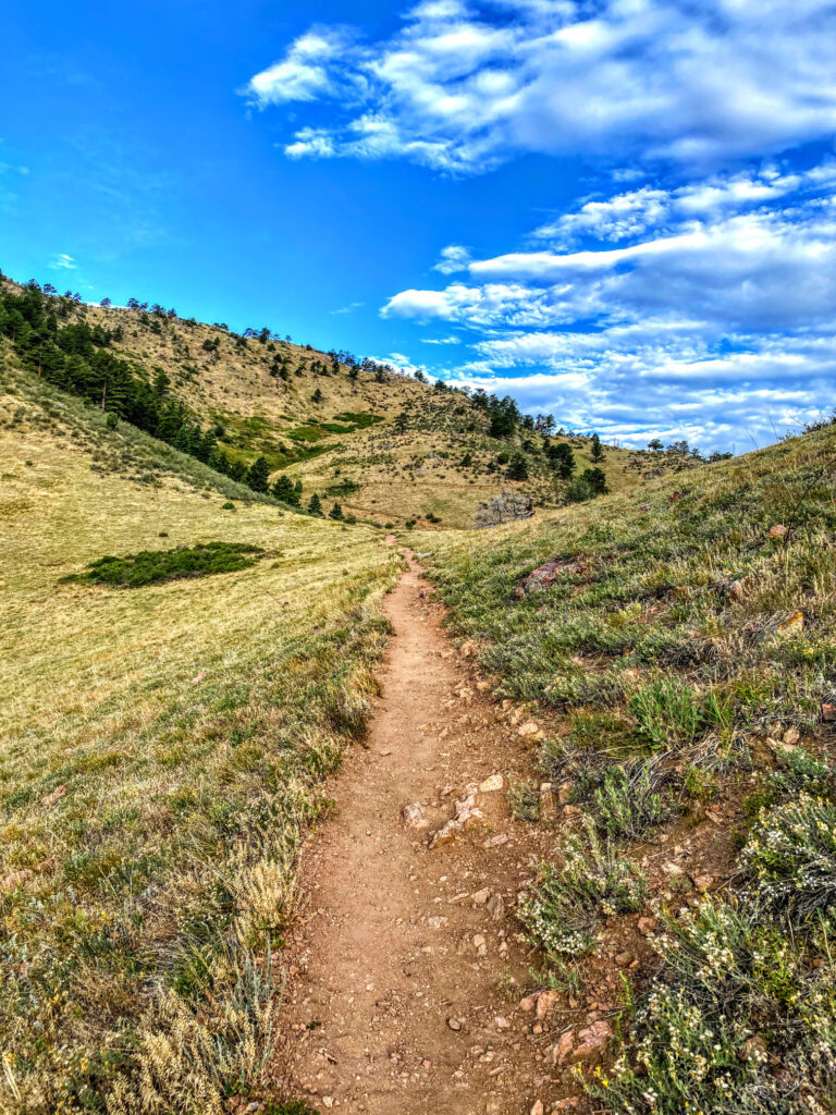
Mount Galbraith Park has 4.6 miles of trails, all designated as “hiking-only.” Thus, this open space area is a favorite destination for hikers and trail runners that prefer trails without mountain bikers and equestrians. The three trails that comprise the park’s trail network are all short (under 2 miles one-way), but moderately difficult. Check the park map before you go to plan your route.
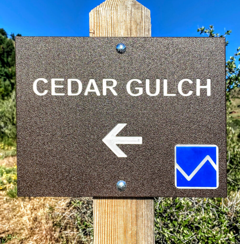
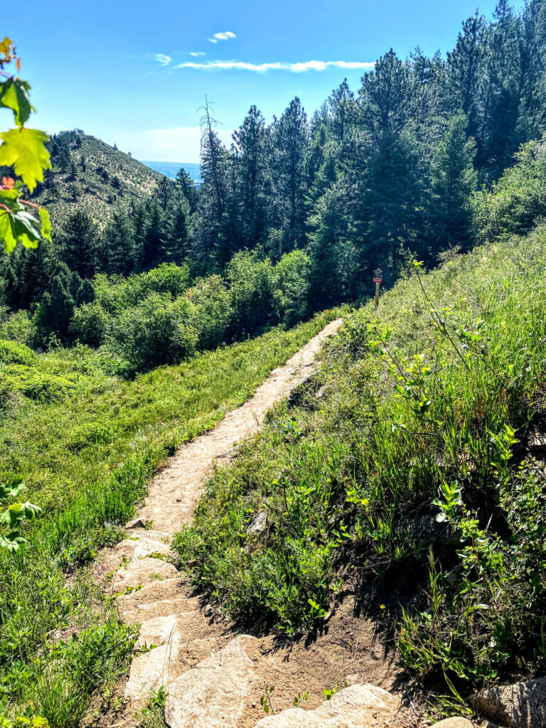
Cedar Gulch Trail
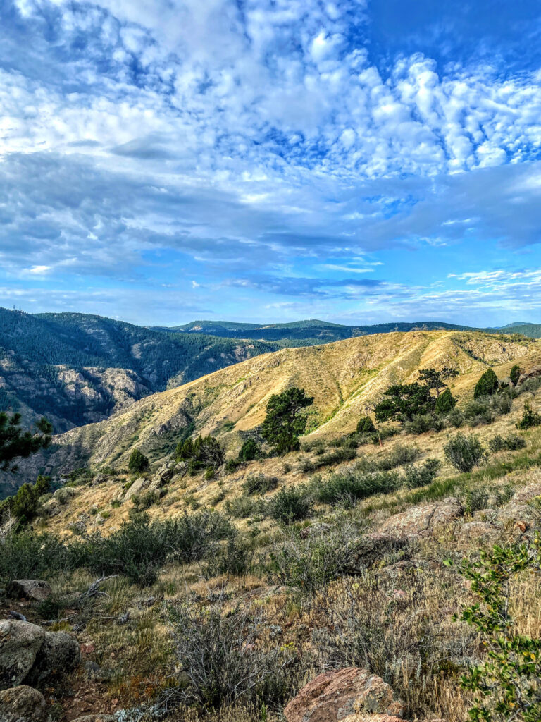
The Cedar Gulch Trail begins at the main Mount Galbraith Park parking lot. Although this is a relatively short trail, a steady and modest ascent slightly increases the trail’s difficulty level. In addition, because this trail has few opportunities for shade, an early morning start is best if hiking in the summer. At the top of the Cedar Gulch Trail (after 1.3 miles) there is a junction with the Mount Galbraith Loop and nearby Nightbird Gulch Trail. To extend the outing, a popular option is to tack on the 1.6-mile Mount Galbraith Loop. Once ready, return down the Cedar Gulch Trail the way you came up, back towards the parking lot. The trail’s descent is comfortable and not extraordinarily steep.
Rating: More Difficult
Length: 1.3 Miles (one-way) / 2.6 Miles (out-and-back)
Use: Hiker Only
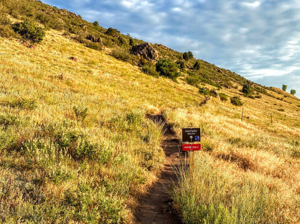
Nightbird Gulch Trail
Visitors can access the Nightbird Gulch Trail directly via the neighborhood access trailhead off of Canyon Point Circle. The 1.7-mile ascent to the junction of the Cedar Gulch Trail and Mount Galbraith Loop is moderate. To extend the outing, a popular option is to tack on the 1.6-mile Mount Galbraith Loop. Once ready, return down the Nightbird Gulch Trail the way you came up, back towards the access trailhead. Because most visitors enter the park via the main parking area off of Golden Gate Canyon Rd., the Nightbird Gulch Trail often sees less use than the Cedar Gulch Trail.
Rating: More Difficult
Length: 1.7 Miles (one-way) / 3.4 Miles (out-and-back)
Use: Hiker Only
Cedar Gulch Trail and Mount Galbraith Loop
Since Mount Galbraith’s trail sections are relatively short, an ideal outing combines trails. Our favorite trail combination begins with the Cedar Gulch Trail, completes the Mount Galbraith Loop, and returns back down the Cedar Gulch Trail. At the park’s main parking area, start on the Cedar Gulch Trail by passing over Tucker Gulch. The Cedar Gulch trail ascends at a steady rate, but is not exceedingly steep, and is fairly exposed with little shade. After 1.3 miles of ascent, reach the junction of the Mount Galbraith Loop and adjacent Nightbird Gulch Trail. Turn onto the loop in either direction, though we prefer to hike the loop counter-clockwise (righthand turn) because it offers more immediate shade. Complete the 1.6-mile loop and return to the trail junction with the Cedar Gulch Trail. Descend back down the Cedar Gulch Trail for 1.3 miles until reaching the parking lot.
Rating: More Difficult
Length: 4.2 Miles (out-and-back)
Use: Hiker Only
Planning Tips
Fees and Regulations
- Entrance Fees: None.
- Park Hours: Daily; one hour before sunrise to one hour after sunset.
- Pets: Permitted; must be on leash.
- Camping: Not permitted.
- Mountain Bikes: Not permitted.
- Horseback Riding: Not permitted.
Parking
- Mount Galbraith Park’s main access parking area accommodates 27 vehicles, but fills up exceptionally fast even in the early weekend mornings. Consider an early arrival to secure a parking spot. The parking area has a restroom, near the Cedar Gulch Trailhead. In addition, an alternative entry point into Mount Galbraith Park is the Nightbird Gulch Trailhead, which is a neighborhood access trail on Canyon Point Circle. Please be mindful that this is a residential street and there is no specific parking area here.
Weather Forecast
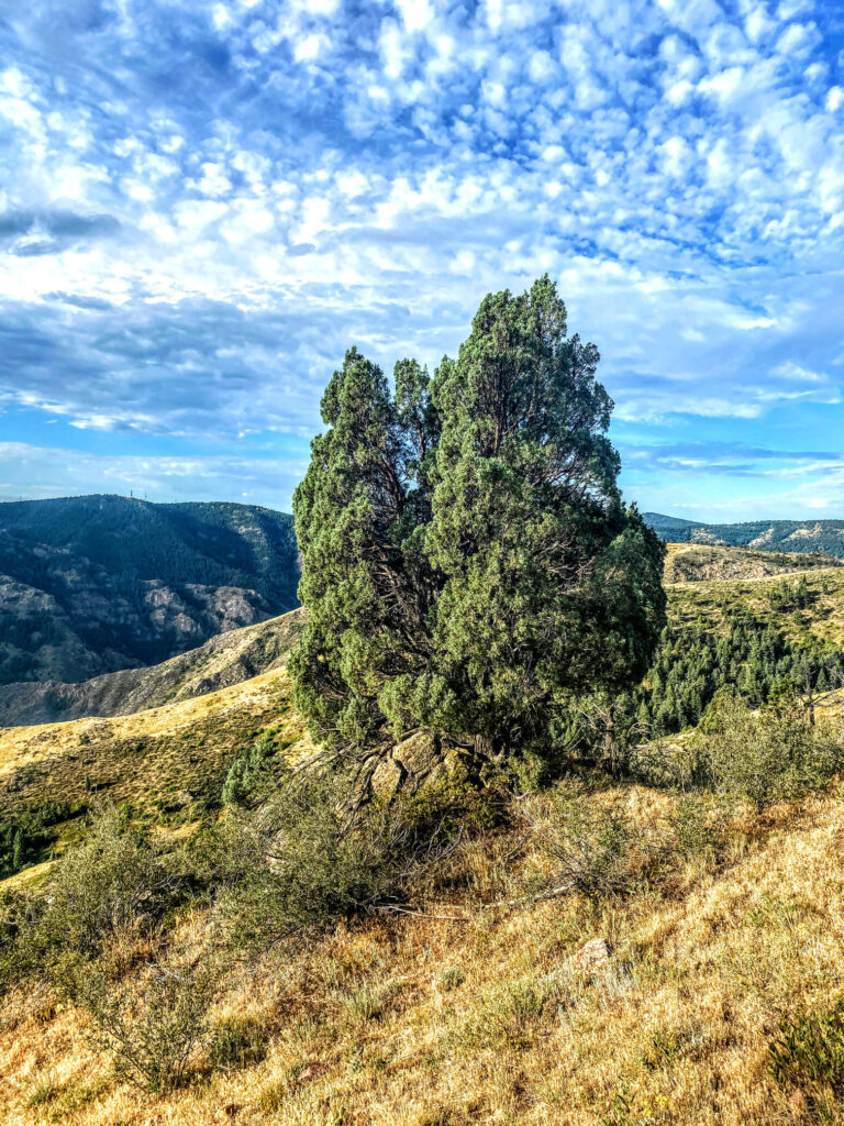
- Always check the weather forecast before venturing into wilderness. Mount Galbraith Park tops out at an elevation of 7,260 ft. and most of the trails are relatively shadeless. Bring sun protection, ample water, and plan ahead. If the weather is not ideal, plan your trip for another day. Safety first!
Recommended Books
For a well-rounded and more interpretive Colorado Open Space experience, consider picking up a few naturalist guides. An easy to use field guide for plants and birds will help identify species and further add to the enjoyment of your time outdoors. In addition, there are a few area-specific guidebooks that offer more details on hiking and trail running routes that may prove useful.
- Best Trail Runs Denver, Boulder & Colorado Springs
- Base Camp Denver: 101 Hikes in Colorado’s Front Range
- Rocky Mountain Wildflowers Field Guide
- American Birding Association Field Guide to the Birds of Colorado
- Roadside Geology of Colorado
Disclosure: Please note that this post contains affiliate links. We may receive a small commission if you buy a product or service through an affiliate link. This revenue helps us provide readers with helpful content to plan amazing adventures.

