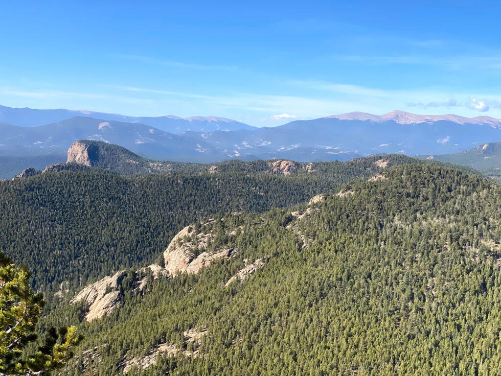
Staunton State Park is located in Pine, CO, just west of Conifer, CO. As the newest park in Colorado’s State Park system (the park opened in 2013), Staunton State Park offers spectacular views along the abundant trailswithin its 3,828 acres. One of our favorite hikes in the park is the Mason Creek Trail to Eagle Cliffs Overlook. At 7.2 miles in length with approximately 1,300ft. in elevation gain, this hike is moderately challenging and well worth the effort. A short scramble to the scenic Eagle Cliffs Overlook treats hikers to a stunning perspective of Lion’s Head and surrounding mountains. Given that Staunton State Park is only about a 45 minute drive from the Denver metro area, the Mason Creek Trail to Eagle Cliffs Overlook is an outstanding day hike option.
HIKE REVIEW SERIES: MASON CREEK TRAIL TO EAGLE CLIFFS OVERLOOK
Mason Creek Trail Guide
Route Information
- Round Trip Distance: 7.2 miles
- Elevation Gain: 1,319ft.
- Trail Type: Out-and-Back
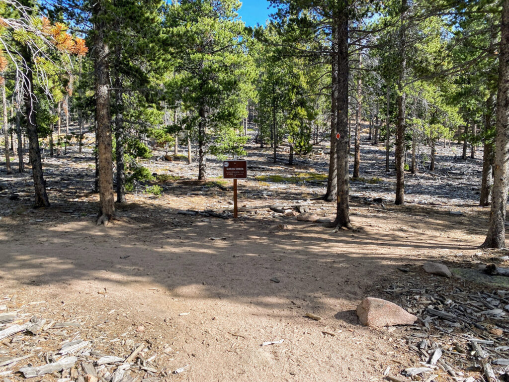
- Trailhead: Mason Creek Trailhead
- Coordinates: 39.494561, -105.380686
- Dogs Permitted?: Yes, on leash


Route Instructions
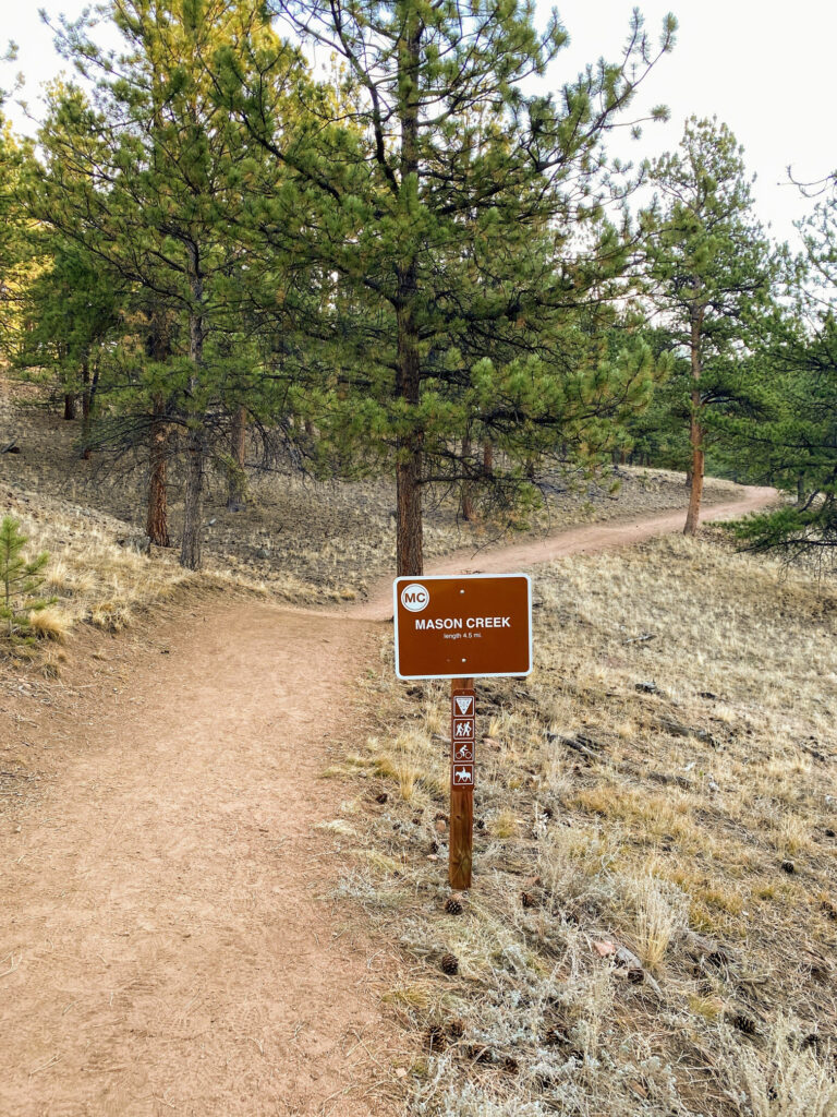

- Step 1 - Park at the Mason Creek Trailhead Parking Area, which is a short drive from the entrance and Visitor Center. Parking for about 25 cars, plus horse trailer parking, is available at the Mason Creek Trailhead. The hike begins at approximately 8,200ft. in elevation.
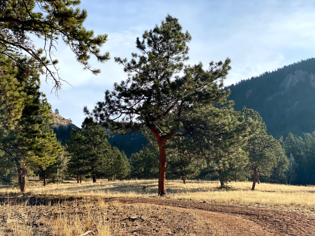
- Step 2 - The trail will begin with a gradual ascent past the Staunton Ranch Trail intersection and a picnic area on the left. Deer are often seen in this area, so keep an eye out for wildlife.
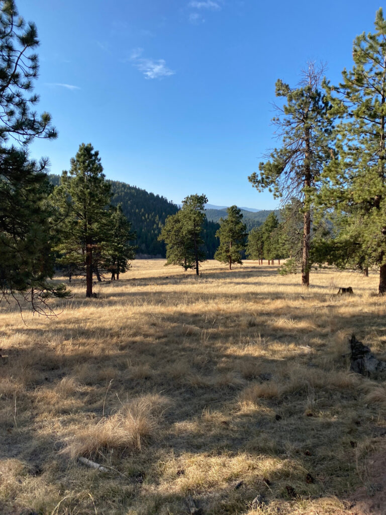
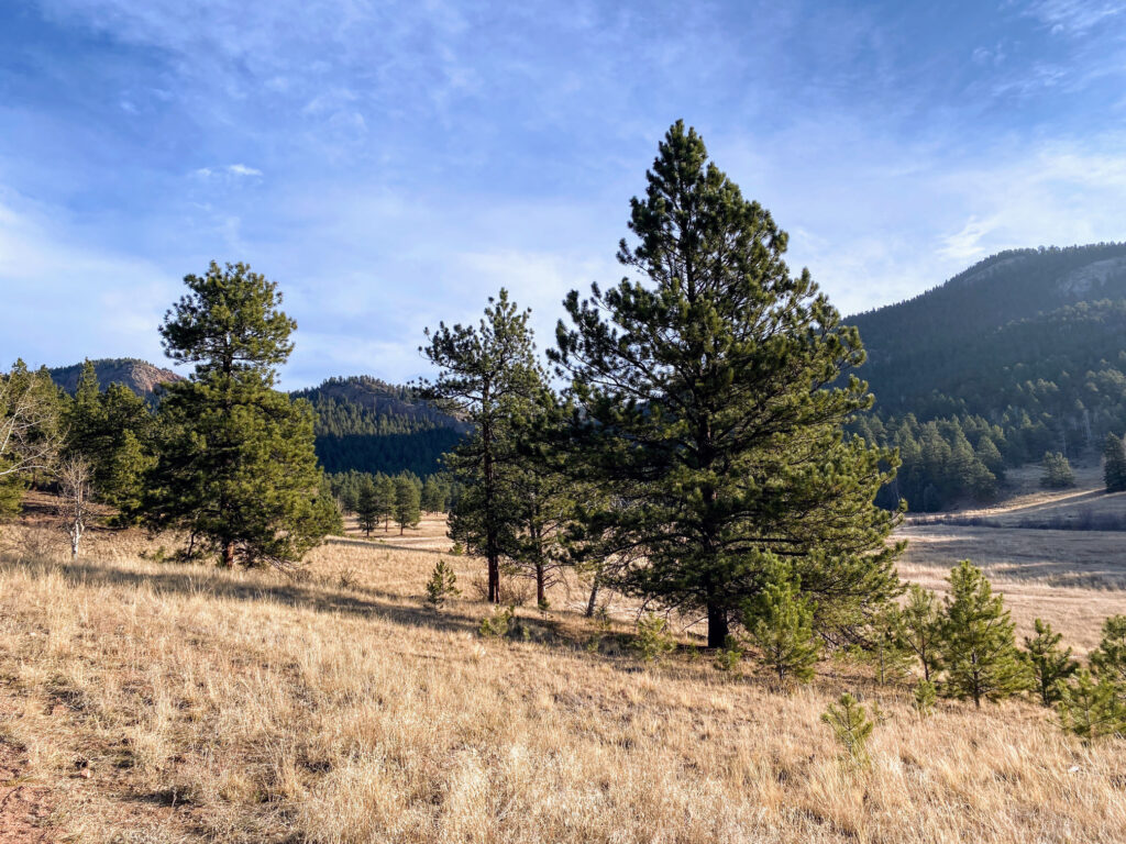
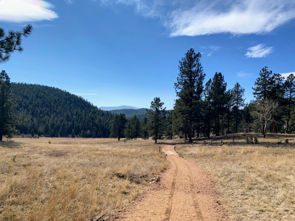
- Step 3 - Continue a very gradual ascent and, to your right, see expansive meadow views with evergreen forested mountains in the distance. At about the .5 mile mark, you’ll cross over a small footbridge.
- Step 4 - You’ll eventually cross a larger footbridge (called a Puncheon) and arrive at an intersection with the Dines Meadow Trail (a trail that connects to the Staunton Ranch Trail). Bear right to continue on the Mason Creek Trail.
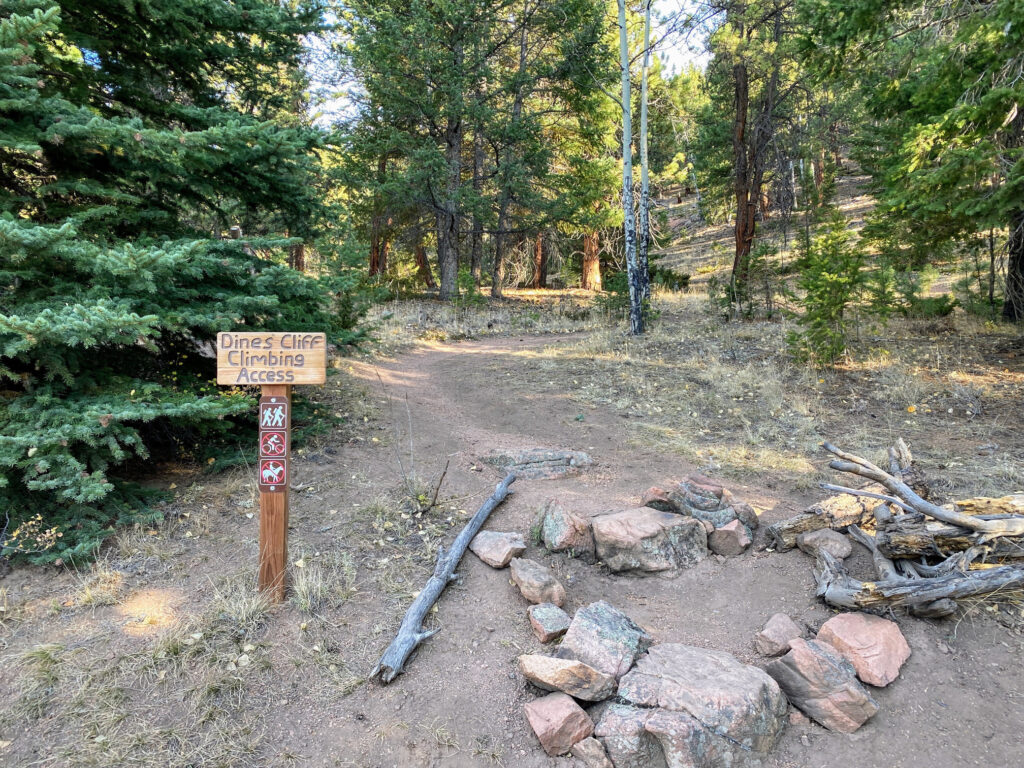
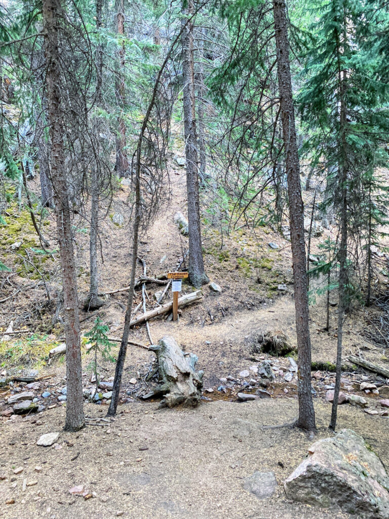
- Step 5 - On your lefthand side, pass the Dines Cliff Climbing Access Trail and continue along the Mason Creek Trail. At this point, you are at approximately 8,400ft in elevation.
- Step 6 - You’ll start to ascend more rapidly through a heavily forested area for about a mile. The Raven Climbing Area will be on your righthand side and you’ll cross a few streams along the way.
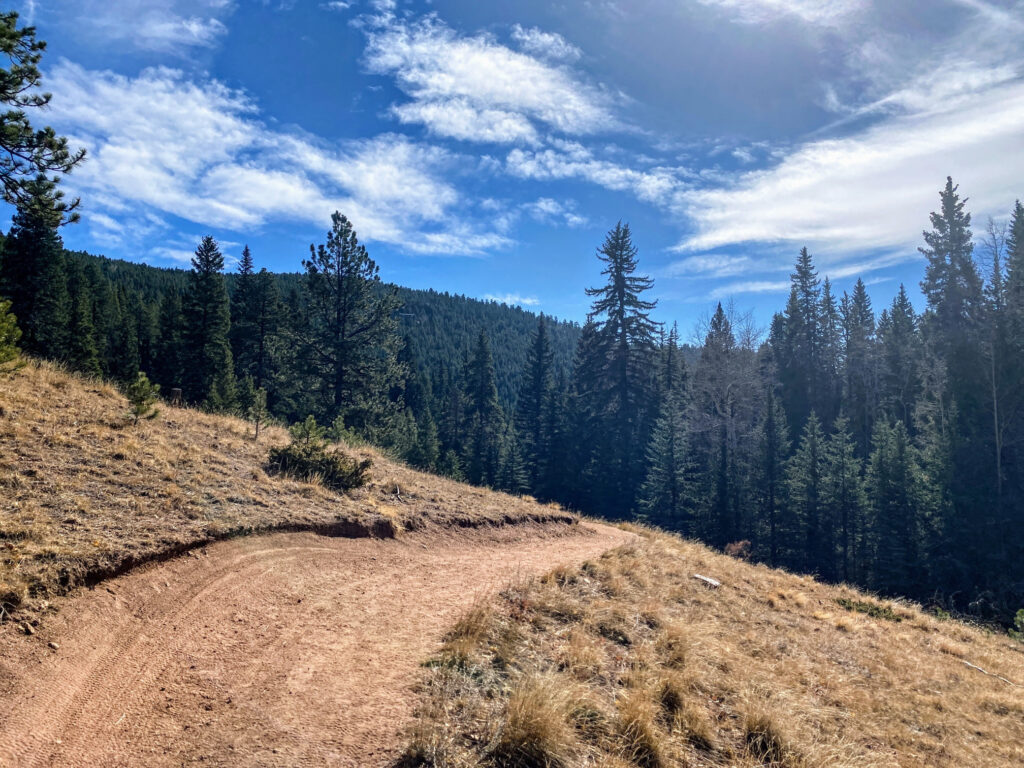
- Step 7 - As you reach approximately two miles into the hike and about 8,900ft., the trail will bear slightly to the west. You’ll begin to see homes on some of cliffs in this area.
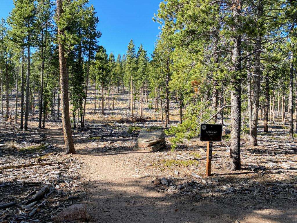
- Step 8 - Continue along the Mason Creek Trail and reach the intersection with the Bear Paw Trail on your left. The Bear Paw Trail is a 2.3 mile trail that is an alternative path to the Eagle Cliffs Overlook. But, for this hike, continue along the Mason Creek Trail by bearing slightly to the right.
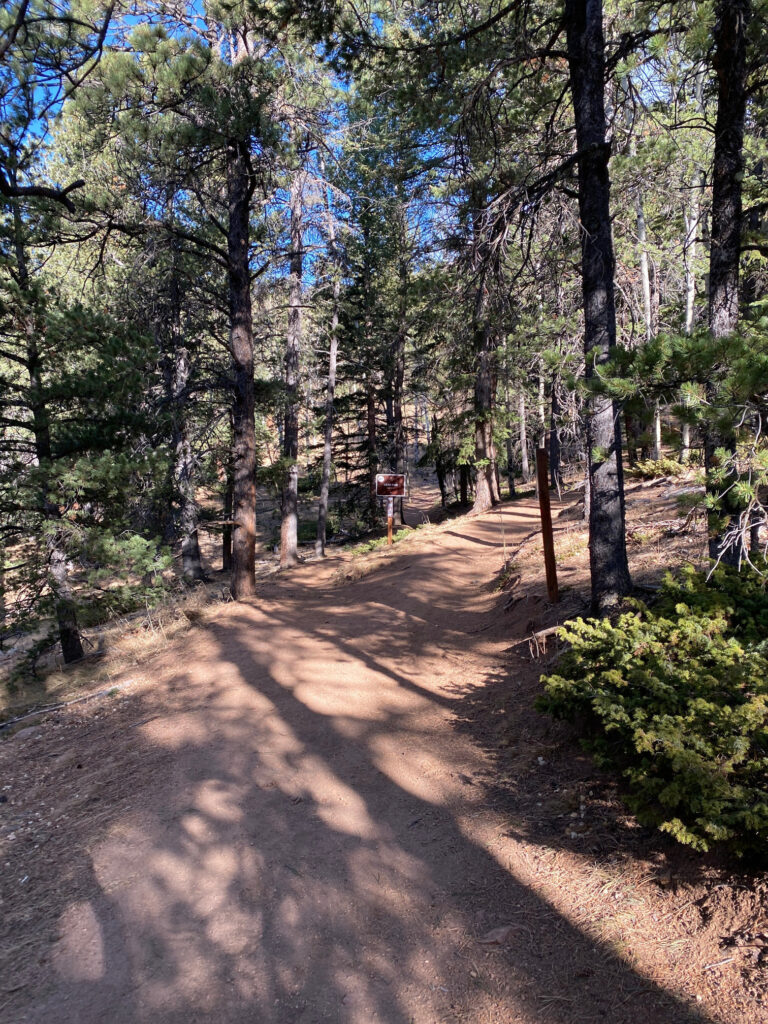
- Step 9 - As you continue your ascent, you’ll notice more aspen trees (which makes for an awesome fall hike!). At about 9,400ft., reach the junction with the other side of the Bear Paw Trail. This time take the Bear Paw Trail by turning left.
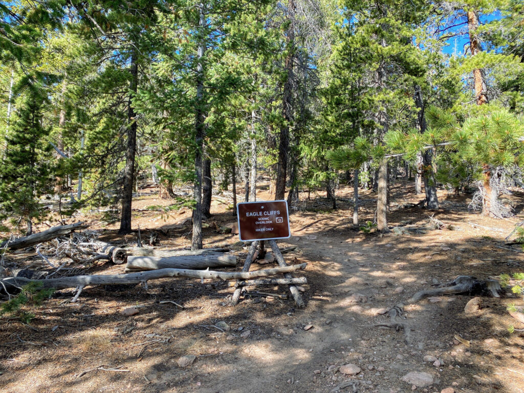
- Step 10 - After hiking .3 miles, you’ll reach the junction with the Eagle Cliffs Overlook Trail. This very short trail towards the scenic overlook is designated as “hiker only.”
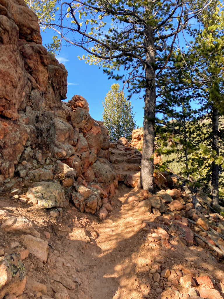
- Step 11 - A bit of easy scrambling is required to reach the Eagle Cliffs Overlook scenic area, but nothing overly extensive. This is a popular and small area that can become very congested, so plan to arrive early to enjoy less crowded views.
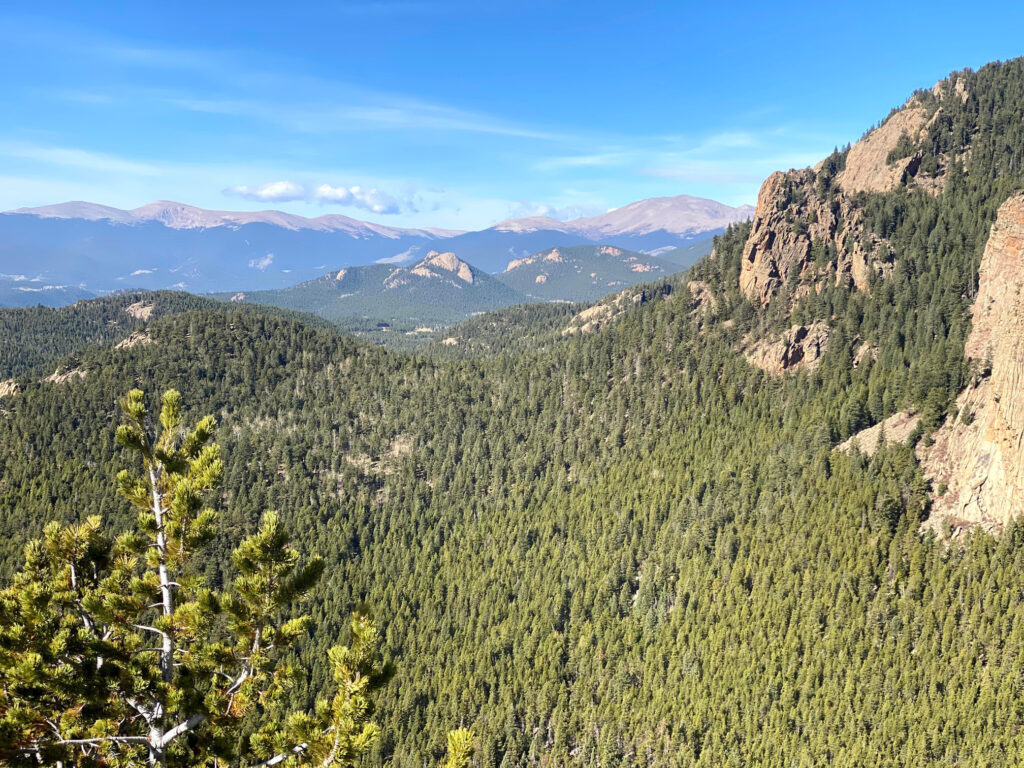
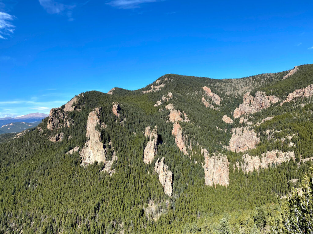
- Step 12 - The Eagle Cliffs Overlook scenic area is at an elevation of 9,583ft. Views here are expansive and quite breathtaking. You’ll also get an incredible view of the unmistakable Lion’s Head, an icon of Staunton State Park.
- Step 13 - Scramble off of the Eagle Cliffs Overlook back to the junction with the Bear Paw Trail. Take a left to head .3 miles back to the Mason Creek Trail (a right turn would add two miles).
- Step 14 - Bear right back on to the Mason Creek Trail to descend and retrace your original ascent. From here to the parking area is about 3.2 miles downhill. Congratulations on a spectacular hike!
PLANNING TIPS
Regulations
- Park Hours: Open year round, 6:00 AM – 10:00 PM Day Use
- Pets: Dogs are permitted on the trail, but must be on leash.
- Camping: There is no backcountry camping along this hike. However, Staunton State Park has 25 walk-in only tent sites, which must be reserved in advance.
Entrance Fees
- Daily Vehicle Pass: $10.00 – Purchase day of visit. Cash or credit card payments accepted at the Entrance Station. A self pay credit card kiosk and a cash self pay area (exact change) are also available near the entrance.
- Affixed State Park Pass: $80.00 – This pass is good for 12 months of unlimited access to Colorado state parks. The pass is not interchangeable between vehicles.
- Hang Tag Park Pass: $120.00 – This pass is good for 12 months of unlimited access to Colorado state parks. The pass is interchangeable between vehicles.
Getting There
- Staunton State Park is located in Pine, CO within Park and Jefferson counties, just west of Conifer, CO. The park is less than 40 miles from the Denver metro area.
- From US Hwy 285 S, take the exit toward Elk Creek Rd./Shaffers Crossing. Turn right onto S Elk Creek Rd. and in about one mile reach the entrance to Staunton State Park on your right. Pass through the Entrance Station and make the first right toward the Mason Creek Trailhead Parking Area.
Parking
- Park at the Mason Creek Trailhead Parking Area. There are about 25 spots at the trailhead, plus oversized parking for horse trailers. These spots fill up extremely quickly. Park staff usually regulates overflow parking along the road leading to the Mason Creek Trailhead Parking Area.
Weather Forecast
- Be sure to check the weather forecast before venturing into wilderness in Staunton State Park. The park’s elevation ranges from 8,100ft. to about 10,000ft., so pack for varying temperatures.
RECOMMENDED HIKING APPAREL AND GEAR
Ten Essentials
Even on a day hike, you should carry the appropriate type and amount of gear, clothing, food, water, and other essentials. For certain, make sure that your packing list includes the Ten Essentials.
Hiking Boots
The Merrell Moab hiking boot lineup offers a good balance between weight and foot protection. These are great for scrambles and are constructed with waterproof membranes so you don’t have to worry about damp feet if the weather turns or you have to splash through streams or puddles along the way.


Hiking Pants
We love prAna’s hiking pants for their quality and versatility. Indeed, their Zion (for men) and Halle (for women) are great on- and off-trail, especially for travel. Constructed with a durable UPF-50 fabric, a water-repellant finish, and utility pockets, these have become a staple in our wardrobe. Consider hiking pants rather than shorts (both for warmth and sun protection).


Base Layer Shirt
Patagonia’s lineup of capilene base layer t-shirts are lightweight and moisture wicking. For our hiking t-shirts and base layers, we often turn to Patagonia products for their craftsmanship, durability, and comfort. Patagonia Capilene Cool Lightweight shirts are versatile and great for hiking and/or trail running.


Hiking Fleece
Depending upon the time of year (and time of day), a fleece hoody or jacket may come in handy. We like the Patagonia R1 as a midweight, but light, option for chilly morning starts. Available as a hoody or jacket, the Patagonia R1 is quick drying, breathable, and extremely comfortable.


Hiking Socks
For most of our hiking needs, we like Darn Tough socks over the multitude of options on the market. They last long and have an ironclad guarantee. In addition, Darn Tough has a variety of designs, ankle lengths, and cushioning options to choose from. We like the Hiker quarter length with light cushioning.


Headwear/Face Covering
We often wear a Buff as a neck gaiter to protect from the sun, given its UPF 50 protective construction. Buffs are also a great option to use as a face covering on the trail. In fact, there are 12+ ways of wearing a Buff, so it’s a versatile piece of gear.

Day Pack
If you’re on the Mason Creek Trail for a day hike or quick trail run, consider a super lightweight hydration vest. Nathan's Hydration Vests are minimalist packs with reasonable storage capacity and hydration reservoir compatibility.

Sunscreen
Sun Bum is our go-to sunscreen nowadays. We like its non-greasy feel and neutral fragrance. Any quality sunscreen will do, but Sun Bum SPF 30 is our choice for long days in the sun.

Trail Snacks
Taos Bakes, made in New Mexico, are some of the best tasting energy bars out there. Vegan and gluten-free, these bars pack in a nice dose of fiber and protein along with a touch of sweetness. Available in multiple varieties, such as Toasted Coconut/Vanilla Bean, Piñon Coffee/Dark Chocolate, and Pecan Praline/Maple Syrup.

Recommended books
If you intend to visit more Colorado state parks beyond Staunton State Park, consider picking up “Colorado State Parks: A Complete Recreation Guide.” Though a bit dated, this book does a nice job providing general overviews of the parks. In addition, we recommend picking up a few naturalist guides for general awareness of Colorado and the surrounding area. An easy to use field guide for plants and birds will help identify species and further add to the enjoyment of your outdoors experience.
- Colorado State Parks: A Complete Recreation Guide
- Plants of the Rocky Mountains
- Trees of Colorado
- Sibley Birds West: Field Guide to Birds of Western North America
- Roadside Geology of Colorado
- The Secrets of Elk Creek: Shaffers Crossing, Staunton State Park and Beyond
Disclosure: Please note that this post contains affiliate links. We may receive a small commission if you buy a product or service through an affiliate link. This revenue helps us provide readers with helpful content to plan amazing adventures.